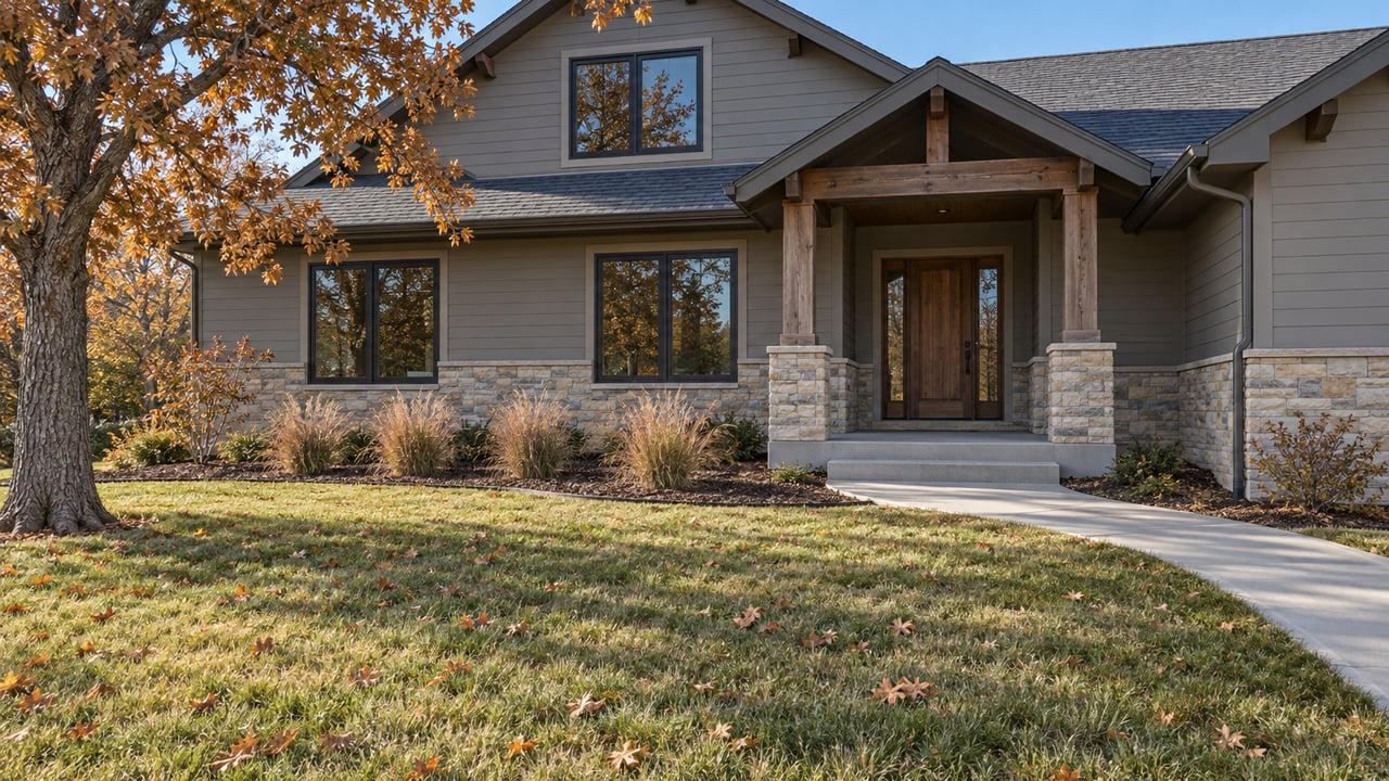
The Arapahoe-Revere Detour Is Changing Sides Before the Trail Underpass Opens
"Arapahoe Road has an annual average daily traffic volume of 52,000 vehicles," Centennial communications director Allison Wittern told the Centennial Citizen when work started this spring. Until now, anyone walking or riding the Lone Tree Creek Trail has had to cross all of that traffic at the Revere Parkway intersection, where the posted limit is 55 miles per hour.
The City of Centennial is replacing that crossing with a bike and pedestrian underpass beneath E. Arapahoe Road between S. Revere Pkwy. and S. Potomac St. It sits right next to Centennial Center Park, and the City's target for completion is spring 2027.
If you drive, walk or catch the bus around the Civic Center, the winter works like this. Some rules hold for the whole project, and you can plan around them once. The rest moves. The work goes across Arapahoe in three pieces, so the closed sidewalk and the lane shift switch sides partway through. A detour that worked in July might not be the one you need in January.
These limits apply around the clock for the full project, according to the City's project page:
The Centennial Citizen also reported that some night and weekend work is possible.
The turn limit at Revere is the one that changes routines. Heading north from the Briarwood side used to mean a straight shot across Arapahoe on Revere. For now it means a right turn and a detour.
The City lays out alternate routes for the project:
Those four streets box in the work zone, and Centennial Center Park sits inside the box at 13050 E. Peakview Ave.
The City builds each section behind temporary concrete barriers and shifts Arapahoe traffic out of the way. Because of that, which sidewalk is open depends on the phase. Here's the plan as the City has posted it:
| Phase | City's timing | Where Arapahoe traffic runs | Sidewalks | What crews are building |
|---|---|---|---|---|
| I | Summer 2026 | Shifted south | Westbound (north) side closed, signed detour | Extending the creek culvert and starting the new box under westbound lanes |
| II | Fall 2026 | Shifted to the outside lanes both ways | Both sides open | New culvert under the westbound left-turn lanes in the middle of the road |
| III | Winter 2026 into spring 2027 | Shifted north | Eastbound (south) side closed, signed detour | Finishing the box and connecting the trail and sidewalks |
The City notes that these dates depend on weather and can change. The Centennial Citizen's spring article used tighter windows: April to July, August to September, then October 2026 to spring 2027. Use the City's live page as the reference for current staging.
The project page still shows the Phase I setup. Westbound walkers are sent through Centennial Center Park to Peakview, and the northeast crosswalks at Revere are closed, while the south and west crosswalk approaches stay open. When Phase III arrives, you'll see Arapahoe traffic moved to the north side and the eastbound sidewalk closed, with a signed detour route. Watch for the posted signs on that one.
The City's email alerts are the easiest way to catch the switch before you're standing at a closed sidewalk. COtrip.org posts real-time lane closures.
Phase I sends walkers through the park, and the park is also the destination for many people on this stretch, so its schedule matters. Centennial Center Park is a 15-acre park beside the Civic Center, with an amphitheater, a playground, lawns and accessible walking paths. Winter hours run 6 a.m. to 8 p.m. from November 1 through April 30. The splash pad is closed until Memorial Day.
The City asks people walking, biking or visiting the park to keep a safe distance from the active work zone.
Morning walks still work through the dark months. Evening loops need to wrap up by 8.
RTD's alert for Route 153 says the route is detoured because of construction at Arapahoe and Revere, and the alert runs until April 2027. These stops are affected:
The detour follows the same logic as the car routes. Buses can't go straight through Revere either, so the stops move to Peoria and to Briarwood. Check the Route 153 alerts page before a trip that matters, because RTD updates that alert separately from the City's page.
From Arapahoe, the work site looks like a long stretch of barrier and dirt. Wittern described the job to the Centennial Citizen. Crews are extending the existing concrete box culvert, which means working inside Lone Tree Creek itself, in a live waterway with a high water table that has to be controlled the whole time. The underpass is made of 20 precast concrete segments, each 8 feet long, 12 feet wide and 9 feet tall. A crane sets each one, and they have to line up precisely across all three phases.
That explains why the work happens in thirds. Each phase sets the segments under one part of the road while traffic runs on the rest, and the pieces have to meet in the middle.
The Centennial Citizen put the cost at $4.3 million, built by the City in partnership with the Colorado Department of Transportation. The regional transportation improvement program from DRCOG lists total funding of $4.312 million.
Once the underpass opens, trail users go under Arapahoe on a path separate from traffic, and they no longer have to cross at the Revere crosswalk.
Wittern told the Centennial Citizen the Lone Tree Creek Trail links to the Cherry Creek regional trail system and connects to the High Line Canal and Willow Creek Greenbelt trails. She described connections to Dove Valley Regional Park to the southeast and Cherry Creek State Park to the north as something that will come "over time."
Part of the northern link is its own City project. Lone Tree Creek Trail Phase II is an eight-foot trail from E. Caley Avenue into Cherry Creek State Park, crossing Lone Tree Creek and Windmill Creek along the way, according to the City's trail projects page.
Put together, the plan is a trail that runs north toward the state park without anyone stepping into a road that carries 52,000 vehicles a day. The underpass is the piece that fills the gap at Arapahoe.
Until then, the project team takes questions at [email protected] or 720-656-5724.
I grew up in Centennial, so I know how much one blocked left turn can change a daily drive. If you're thinking about how changes like the trail network around the Civic Center fit into your next move in Centennial or nearby, I'd love to talk it through. Vicki Zeeb is happy to help. Let's Connect.
This process should be exhilarating, not hard work! I will take the time to listen to your needs and wants and am committed to providing you exceptional service and an overall fun and exciting process.
VICKI ZEEB
THE AGENCY 255 CLAYTON ST STE 110 DENVER, CO 80206